Kanakapura Main Road Map, Distance and Directions

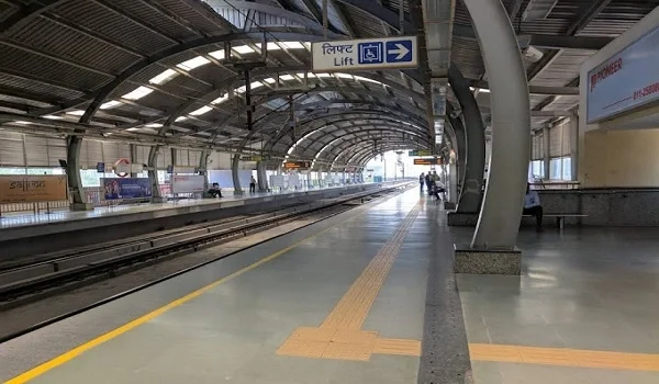
Kanakapura Main Road map shows the south-side route from Banashankari and Yelachenahalli towards Konanakunte Cross, Doddakallasandra, Vajarahalli, Thalaghattapura, Kaggalipura, Harohalli and Kanakapura town. In Bangalore city, the main map point is Konanakunte Cross Metro Station because it connects the road with metro, mall access and major residential areas.
Kanakapura Main Road is a key road in South Bangalore. It runs from the Banashankari side to Kanakapura town. The full city-to-town drive is about 55 km. It can take 1 hour 30 minutes to 2 hours 15 minutes.
The road is part of NH 948. This route links Bangalore with Coimbatore. In the city, the main map points are Banashankari, JP Nagar, Yelachenahalli, Konanakunte Cross, Doddakallasandra and Thalaghattapura. For most home buyers, Konanakunte Cross is the best map point.